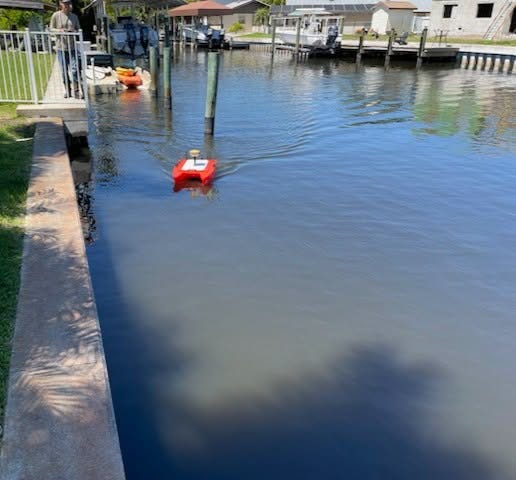
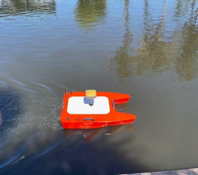
What may appear to be a remote-controlled boat gliding across the water or a survey crew taking routine measurements is actually part of the critical work that helps shape Manatee County’s future infrastructure projects.
Manatee County’s Survey team has been collecting detailed topographic data throughout the county using advanced technology to provide accurate information for planning, engineering and construction.
One recent project involved deploying an Autonomous Survey Vehicle (ASV) at Warner’s Bayou to collect underwater data used to calculate dredging volumes. The specialized vessel gathers precise measurements that help engineers determine how much material needs to be removed, providing valuable information for future maintenance and waterway improvement projects.
Survey crews also recently completed detailed mapping around Braden River Library, documenting elevation changes, tree locations and other landscape features. The information creates an accurate representation of the site that can be used to support future planning and development.
The data collected by the Survey team serves as the foundation for a wide range of county projects, allowing departments to make informed decisions before construction begins. By providing reliable topographic information, the team helps ensure projects are designed using accurate site conditions, improving efficiency and reducing the potential for costly errors during construction.
While much of the work happens behind the scenes, the county’s surveying efforts play an essential role in maintaining infrastructure, planning public improvements and supporting future growth across Manatee County.