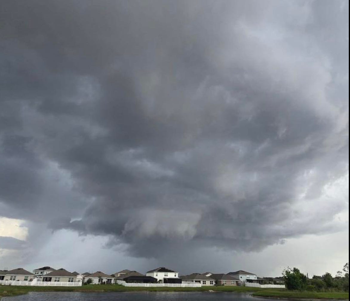
A tornado briefly touched down Tuesday afternoon in a construction zone about two miles north-northeast of Parrish as severe weather moved through northern Manatee County, according to eyewitness reports.
Witnesses reported seeing a circulation descend from the base of the storm into the construction area, where debris was lifted into the air before the tornado quickly dissipated back into the storm cloud.
The National Weather Service had issued a tornado warning for northwestern Manatee County and south-central Hillsborough County until 6 p.m. Tuesday after radar indicated rotation within a severe thunderstorm near Parrish.
At approximately 5:36 p.m., meteorologists reported a severe thunderstorm capable of producing a tornado located over Parrish, about 11 miles northeast of Palmetto, moving north at 15 mph. The warning area included portions of Interstate 75 extending into southern Hillsborough County.
Officials warned that flying debris posed a danger to anyone caught outdoors without shelter. Mobile homes were considered especially vulnerable, while damage to roofs, windows, vehicles and trees was possible.
The storm system was expected to move near Ruskin around 5:40 p.m. A special marine warning was also issued for Tampa Bay, with forecasters warning of wind gusts between 50 and 60 mph.
A separate marine warning remained in effect for Charlotte Harbor until 6:30 p.m., where forecasters warned of damaging winds, small hail and heavy rainfall.
The tornado was not visually confirmed by the National Weather Service, and the warning was based primarily on Doppler radar indications of rotation. Meteorologists noted that isolated tornadoes associated with Florida thunderstorms can produce winds ranging from 60 to 80 mph and often last less than a minute.
The brief touchdown near Parrish follows another small tornado that caused localized damage in the Tampa area over the weekend.